Aerial footage has to earn its place.
Drone work can establish geography, movement, scale or location context, but it should support the production instead of becoming filler.

Drone & Aerial
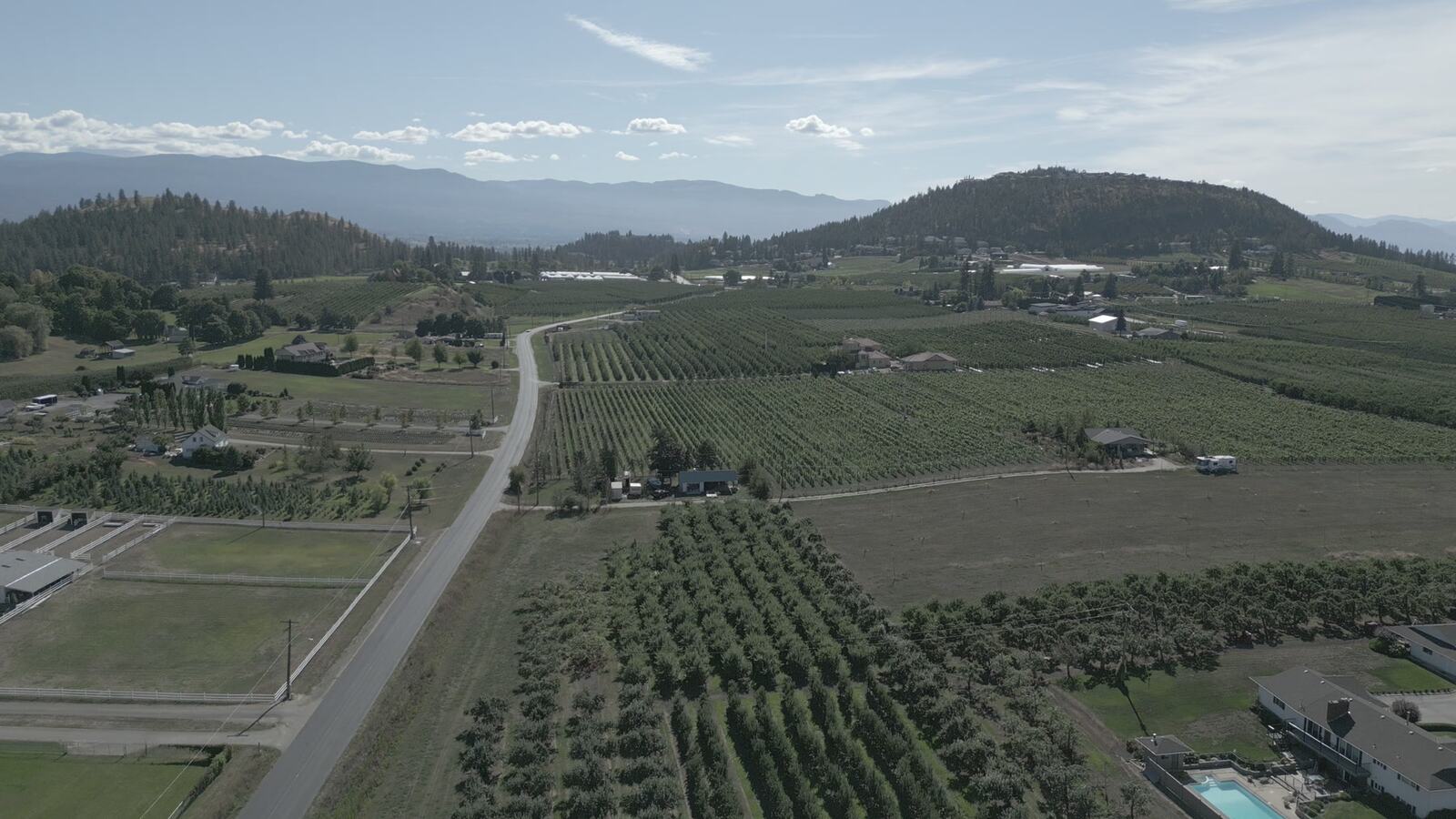
KFS can plan aerial coverage when altitude, location, privacy, weather, safety and permissions make drone work useful to the production rather than decorative.
Drone work can establish geography, movement, scale or location context, but it should support the production instead of becoming filler.
Airspace, privacy, property access, weather, wind, people, vehicles, wildlife, fire season and owner permission all affect what can be captured.
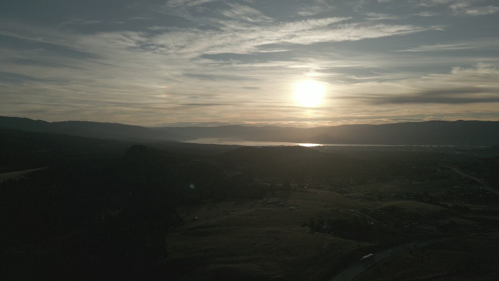
Okanagan roads, orchards, lakes, vineyards, estates, small towns and dryland terrain can be made clearer through the right aerial plan.
Flight windows, battery timing, location moves, backup coverage and data handoff should be scoped before the shoot day.
Field Evidence
Sources
Related Support
Regional location paths across Kelowna and the Okanagan.
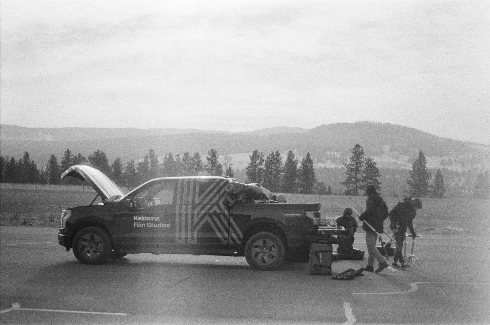
View details Service ProductionLocal production support for travelling teams working in Interior BC.
View details Drone InquiryShare date, location, desired shots, permissions, schedule and delivery requirements.
View detailsWatch film
